
Precision Forestry: Remote Sensing Applications with Drones (CANCELLED)
About
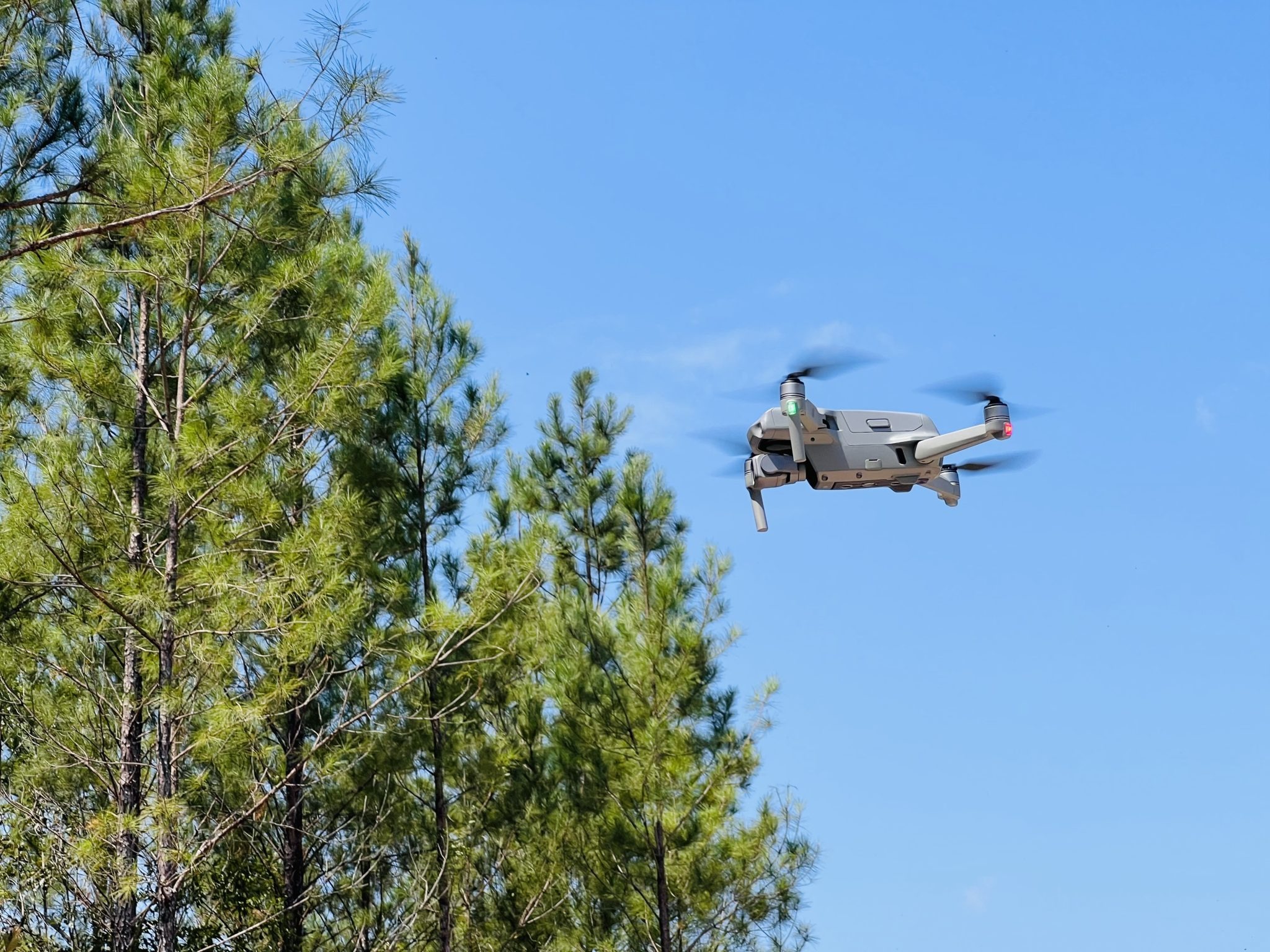
This two-day training course is designed for forestry and conservation professionals seeking to integrate drone-based remote sensing into forest and woodland management. Participants will learn how to plan and carry out drone surveys using RGB and thermal sensors, process imagery to create orthomosaics, canopy height models (CHMs), and assess forest stand structure and wetland conditions. With a strong practical focus, the course equips foresters with the skills to apply aerial data in stand monitoring, regeneration planning, and habitat assessment.The course is not a drone training course, rather the focus is applications of data acquired using drones.
Participants who have completed drone training are encouraged to bring their own equipment, but this is only optional. All the key equipment for RBG and thermal imaging will be demonstrated as part of the course.
Outputs from the course will include maps and results of woodland structure/hydrology.
Date
Thursday 21 August 2025 9:00 AM - Friday 22 August 2025 5:30 PM (UTC+01)Location

Cliburn Village Hall
2 Chapel Mews, Cliburn, Penrith, Cumbria CA10 3AL

Contact Form
Precision Forestry: Remote Sensing Applications with Drones (CANCELLED)

Resend recently purchased tickets to our events to your email.
Enter email to start search
You can review the event organiser's terms and conditions here.