Wokingham Beating the Bounds
Location
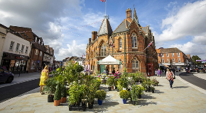
Starting Point: Wokingham Market Place
Market Place, Wokingham, Berkshire RG40 1AS
About
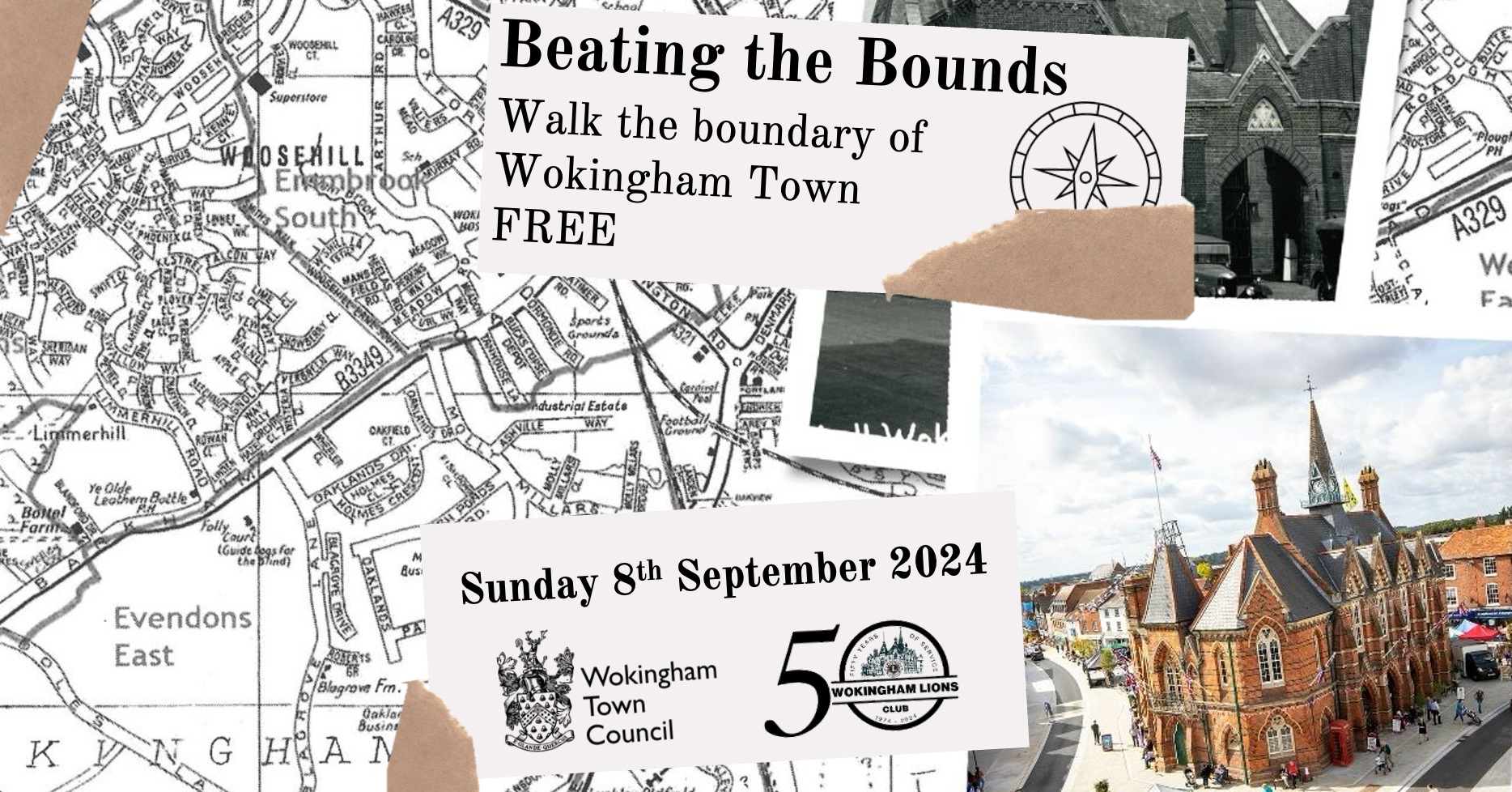
'Beating the Bounds' was an ancient practice carried out to ensure the knowledge of parish boundaries was maintained and passed from generation to generation. This involved swatting local landmarks with branches to maintain a shared mental map of parish boundaries.
This new free event is being organised by Wokingham Town Council and Wokingham Lions Club, and features a route to walk as much of Wokingham town's boundary as possible.
'Beating the Bounds' was an ancient practice carried out to ensure the knowledge of parish boundaries was maintained and passed from generation to generation. This involved swatting local landmarks with branches to maintain a shared mental map of parish boundaries. 2024 marks the 50th Birthday of Wokingham Town Council who are keen to revive this tradition as part of the town celebrations. They approached Wokingham Lions Club (also celebrating their 50th Birthday in 2024), who organise The Wokingham Walk, to help them bring this new event to fruition.
You don't need to register in adavance, but if you do it will save you time on the day. Registration on the day will be available from 9.00 am until 10.30 am. Please ensure that you check back in at the end of your walk so that we know that everybody is accounted for. The check in will close at 4.30pm, or when all walkers have returned (if sooner).
The event will be free to participate in and feature 3 routes. This will enable people of differing abilities to walk parts of Wokingham town's boundary.
The 3 routes will intercept the boundary at various locations and will be marked by wooden boundary markers with “beating sticks” under the supervision of event stewards. You can choose between these three routes:
- 13.5 Miles - follows most of the perimeter of Wokingham Town Council’s administrative area - the exact boundary cannot be walked due to inaccessibility in some areas. Much of the town boundary is on private land, it broadly follows the A329(M) to the north, the Waterloo railway line to the south and Simon’s Lane/Old Forest Road to the west.
- 7 Miles - taking in parts of the Town Council boundary that involves more countryside walking for you to enjoy. This route will include all of the planned “beating” posts.
- 2 Miles - encompasses part of the 7 mile route for those who may feel that they just want a shorter stroll.
Maps
We've used RouteYou for the maps - you can follow them interactively on your phone's browser - just follow the interactive link below for your route and click on 'View on interactive map' - you don't need any downloads or apps. Note that the red points indicate an historic point of interest and the blue represent Beating Posts. Press this button...
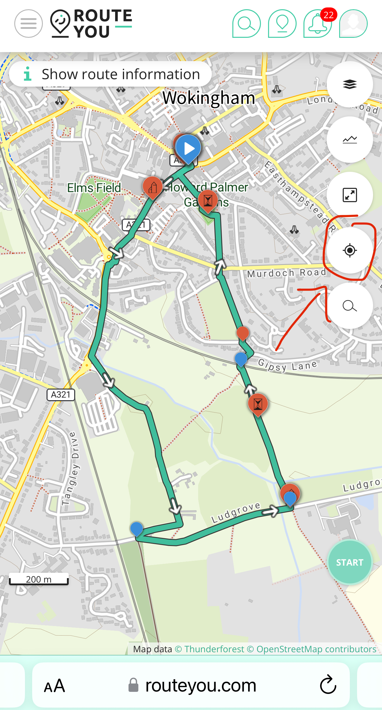
...to follow your route.
2 Mile Interactive Route: https://www.routeyou.com/en-gb/route/view/14959040
7 Mile Interactive Route: https://www.routeyou.com/en-gb/route/view/14854962
13 Mile Interactive Route: https://www.routeyou.com/en-gb/route/view/15082793
You can also download a PDF version of the route, along with the historical points of interest, for offline viewing here:
Follow the Facebook event here. Use the hashtag #wokinghambeatingthebounds in any posts!
Thinking of getting sponsored to support a local charity? We've created an event on JustGiving.
The Start
The start and finish will be outside the Town Hall opposite the Rose Inn.
The routes operate in an anti-clockwise direction and the signage has been printed so that a left sign is supplemented with the word left, etc. If the sign does not appear correct please call 07876 195165 to report.
The 2 mile route starts going down Denmark Street and the 7 & 13 mile routes head along Broad Street. Make sure you start in the right direction!
Event Phone Number
Should you need any assistance while you are on the walk, please save the emergency number onto your phone prior to the event.
EMERGENCY NUMBER (if you are lost, injured, or decide to withdraw from the walk): 07876 195165
LIFE THREATENING INCIDENTS: CALL 999 FIRST – THEN follow up with the Emergency Number
When using your mobile phone during the walk, please keep an eye on your battery level so you always have enough power to call the emergency number if needed. Please bear in mind that some apps can drain your battery quickly, so keep a close watch.
Route Signage
The 2, 7 and 13 miles routes will be clearly signed with Arrows to signify the different routes.
Make sure you always have an idea of where you are as it is your responsibility not to get lost and to know your rough location if you do. We have produced electronic versions of the routes which show where the beating posts are located and include historic points of interest that you will pass on the route. These will be published on Saturday 7th September.
You will be fully responsible for the safety and security of any children that accompany you on the walk.
Hazards on the route will be indicated by a Triangle with an explanation mark. Take special care when you see these and be aware of your surroundings.
Beating Posts
There are 3 beating posts on the 2 mile route, 7 on the 7 mile route and 11 on the 13 mile route. Most of the beating posts will be manned by stewards to supervise the activities.
Please do not bring your own beating sticks. These have been prepared using seasoned Hazel to minimise the risk of splintering and must be left at each location for following walkers to use.
Event Rules
There aren’t too many rules but the ones we do have are important to keep you safe. Please make sure you familiarise yourself with them prior to the walk.
- Participants must ensure they are adequately hydrated.
- Participants must carry a charged mobile phone with them
- You must follow the country code at all times and close all gates behind you
- All litter must be kept on your person until it can be properly disposed of in a suitable bin
- Take care crossing roads.
- Exiting / retiring from the walk. If you need to exit/drop out of the walk, please inform our event staff on the contact number previously mentioned. We will be able to advise you on the best way to leave the walk either by pick up or public transport.
- Rest Stops. In order to minimise the use of “one shot” disposable water bottles you are strongly encouraged to bring your own water supply in a reusable bottle. We will supply a limited amount of disposable water bottles which will be available in exchange for a donation to the selected charity.
- Dogs are welcome to attend, but must be kept under control at all times and on the lead in areas where traffic, livestock and horses are present.
The Kimel Café in Evendens Lane (roughly 5 miles) will be open and has agreed to offer toilet facilities if needed. This is run as a charity and we would recommend having a coffee and cake as you pass.
There will also be a further refreshment stop just before the routes split. This is intended to be mainly for the 13 mile walkers, but anyone needing refreshments are welcome to make use of the facilities.
Parking
Note that the nearest car park in Denmark Street has a four hour limit - if you think you will be longer than that use the Carnival Multi-Storey Car Park, the Easthampstead Road East Car Park or the Shute End Council Offices Car Park. Details on council car parks are available here.
Final Hints & Tips
- Remember your kit & check the weather leading up to the walk to ensure you have everything is covered come rain or shine. The correct footwear is absolutely essential and will need to be waterproof if it’s going to be wet and muddy.
- Deal with ‘hot spots’ on your feet straight away and tape up/Compeed etc to avoid blisters
- Drink plenty of water and stay fully hydrated but don’t ‘overdo’ the energy drinks or gels. Drink water little and often and don’t wait to get thirsty
- Enjoy yourselves!
We wish you the best of luck for your challenge and look forward to meeting you at the start!


